Data
CSV
The 2019 flood in Khuzestan by county
Flooded land, water before the rain, residents, cropland and road for each of the 27 counties of Khuzestan, as the table on the page shows them.
From Mapping the 2019 Iran flood, a case study in Khuzestan province
GeoPackage
Infrastructure of Khuzestan measured against the 2019 flood
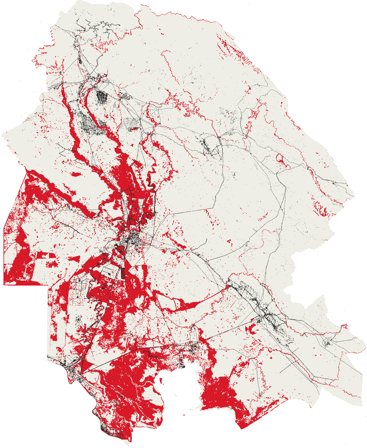
Every settlement, building, works, well, power line, canal, school and clinic OpenStreetMap maps in the province, with how close the flood came to each.
From Mapping the 2019 Iran flood, a case study in Khuzestan province
Cloud Optimised GeoTIFF
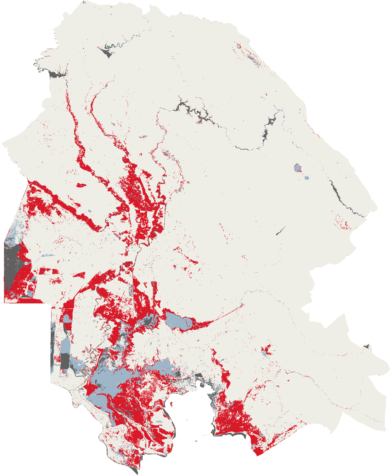
The three flood map layers of Khuzestan, spring 2019
The map layers of the page as rasters a reader can open in a geographic information system. Every cell holds the class the map draws it as.
From Mapping the 2019 Iran flood, a case study in Khuzestan province
CSV
Rain over Iran's provinces and the Greater Karun Basin, March to May 2019
How much rain fell on each province of Iran and on the Greater Karun Basin from 17 March to 1 May 2019, and the rain on the basin and on Khuzestan for every day from 10 March to 25 April, from the CHIRPS estimate.
From Mapping the 2019 Iran flood, a case study in Khuzestan province
CSV
The 2019 flood in Khuzestan over time, from radar
How much land the radar flood map covered in each 12-day window from 15 March to 6 June 2019, and how much ground each window could see.
From Mapping the 2019 Iran flood, a case study in Khuzestan province